Idaho (24 in x 20 in)
1:1,400,000
20 inch x 24 inch — flat wall map, printed on a heavy fine paper — shipped rolled.
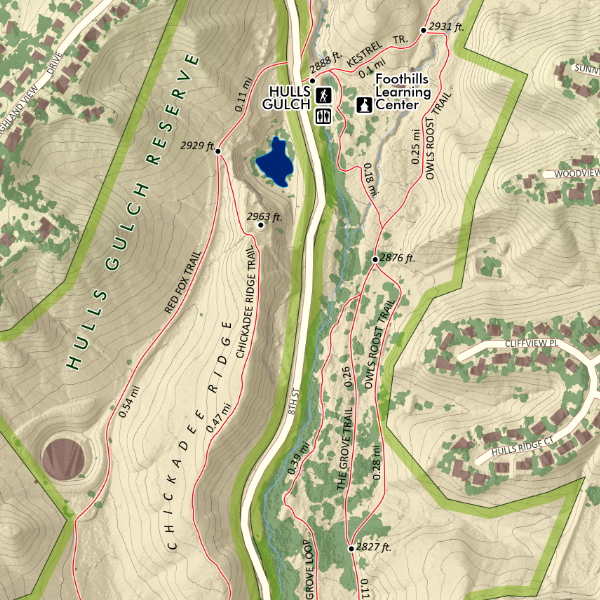
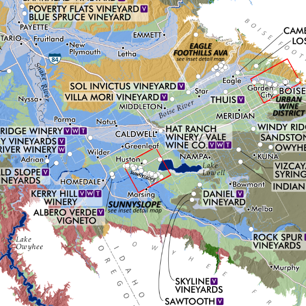
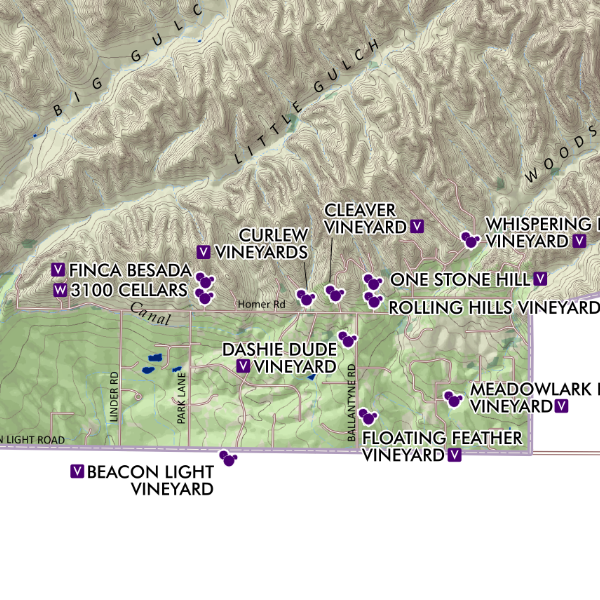
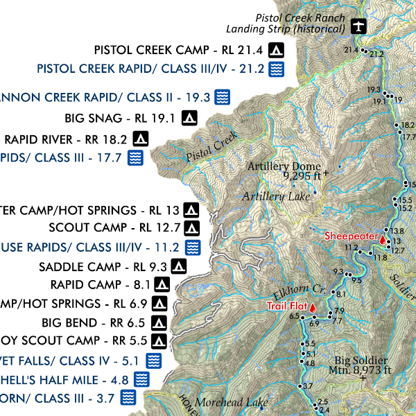
Idaho (general reference map). In the feature state map — town, cities, places, special features, mountains of interest (elevation included), range highpoints (elevation included), hot springs (only the familiar ones thou, not your favorite secret ones!), alpine ski areas, state park sites, wilderness areas, reservations, national park sites, wild and scenic river segments, the Idaho Centennial Trail Route, and a nice rich terrain and hillshade. In the legend space several inset maps including the mean 30 year annual precipitation, a colorful depiction of elevation range, and for those who love license plate games — a map of the county plate codes (now you’ll never mix up those B plates again!).
1:1,400,000
20 inch x 24 inch — flat wall map, printed on a heavy fine paper — shipped rolled.
Idaho (general reference map). In the feature state map — town, cities, places, special features, mountains of interest (elevation included), range highpoints (elevation included), hot springs (only the familiar ones thou, not your favorite secret ones!), alpine ski areas, state park sites, wilderness areas, reservations, national park sites, wild and scenic river segments, the Idaho Centennial Trail Route, and a nice rich terrain and hillshade. In the legend space several inset maps including the mean 30 year annual precipitation, a colorful depiction of elevation range, and for those who love license plate games — a map of the county plate codes (now you’ll never mix up those B plates again!).


![Camel's Back [Boise Idaho] (19 in x 13 in)](https://images.squarespace-cdn.com/content/v1/64dfe5c447627a1ab4b29d07/1699989430957-PGLZ4WM4WRNNHFPDRKKY/CamelsBack_framed.JPG)