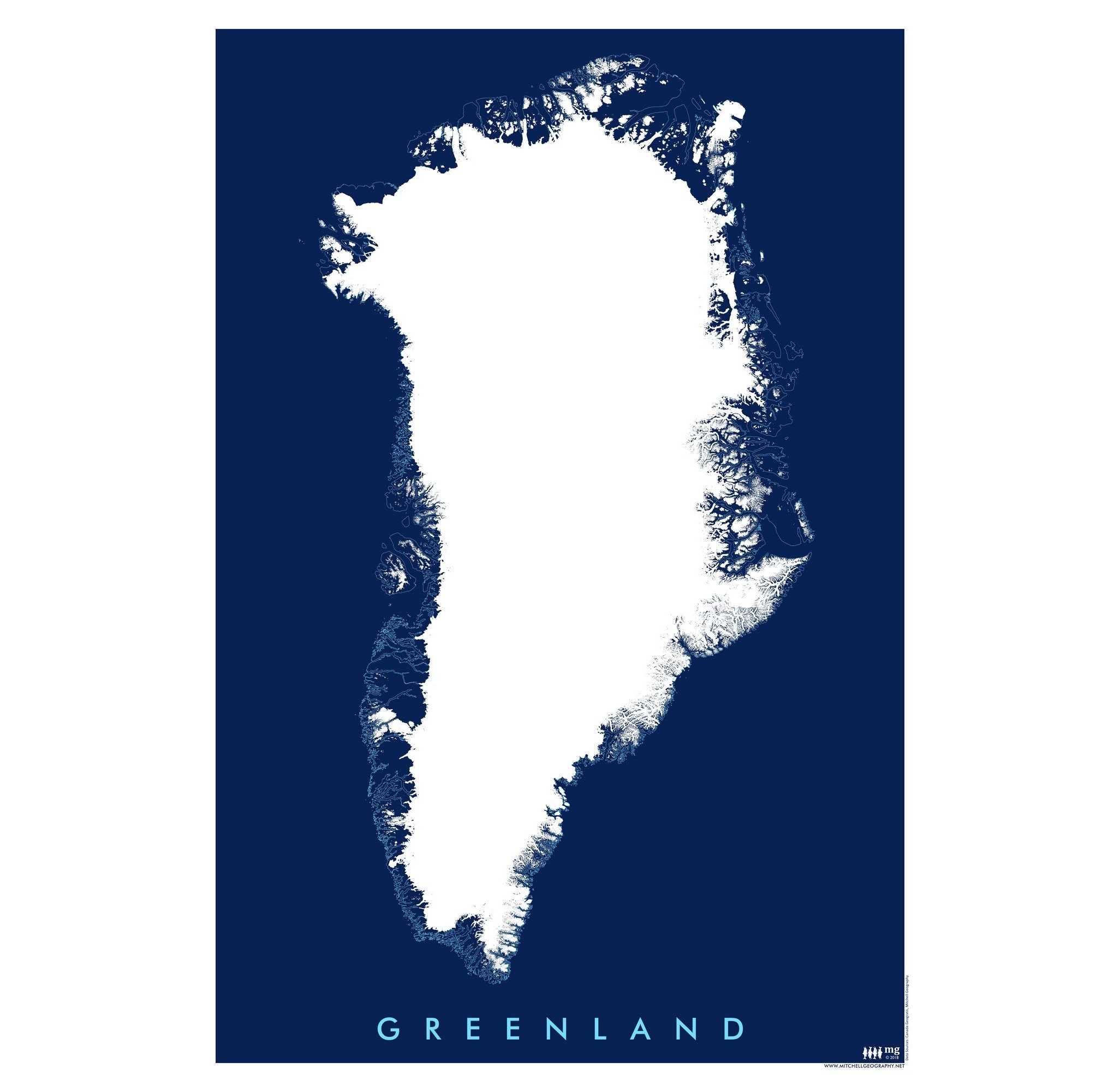
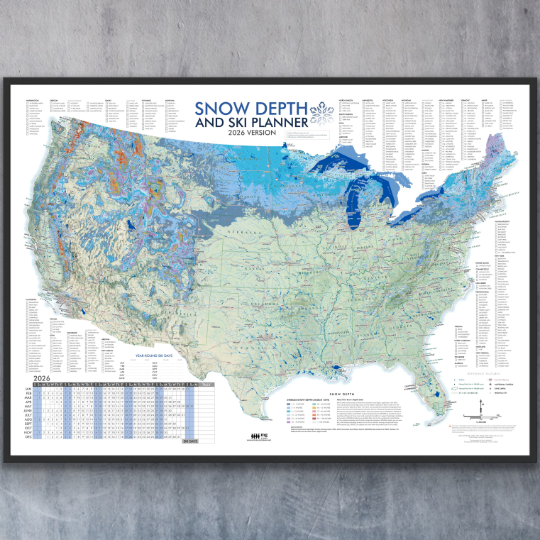
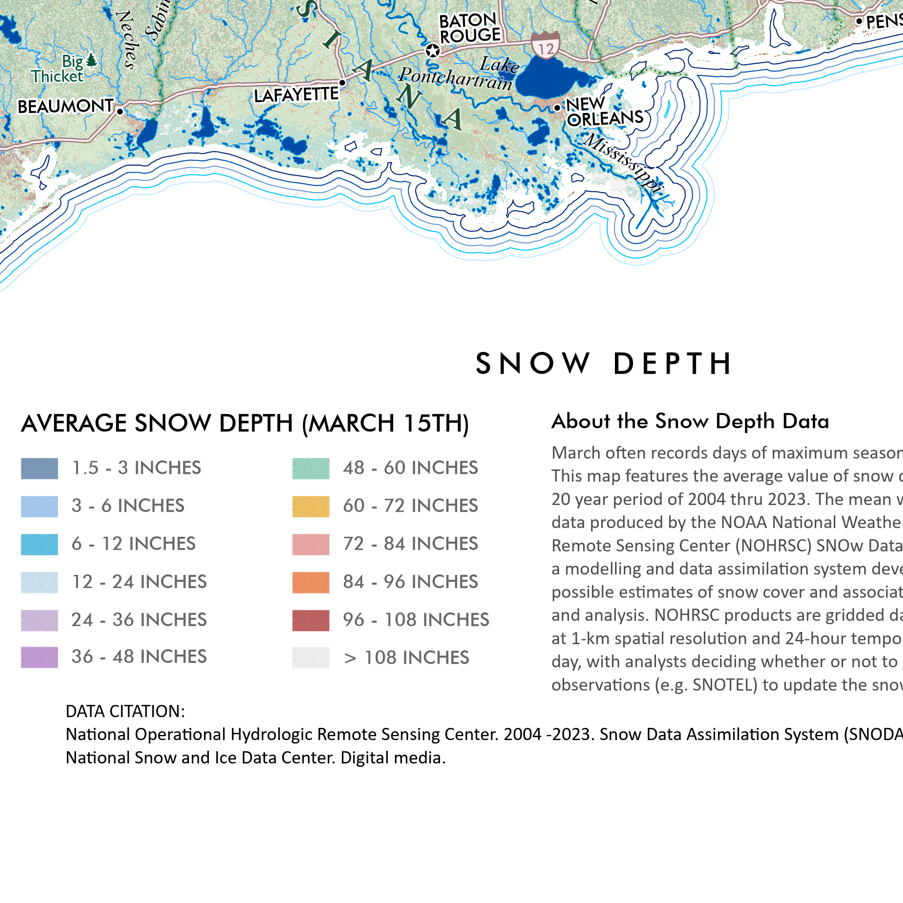
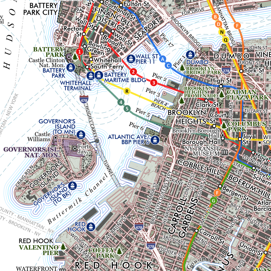
Image 1 of 4
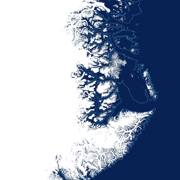
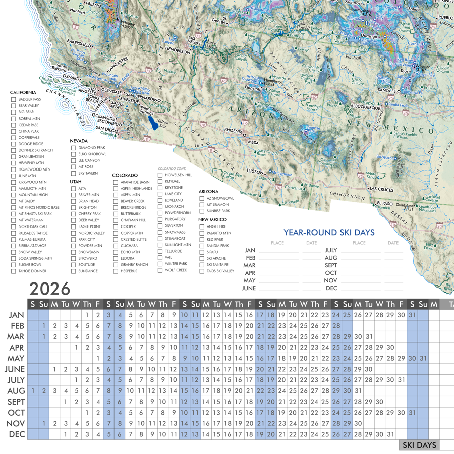
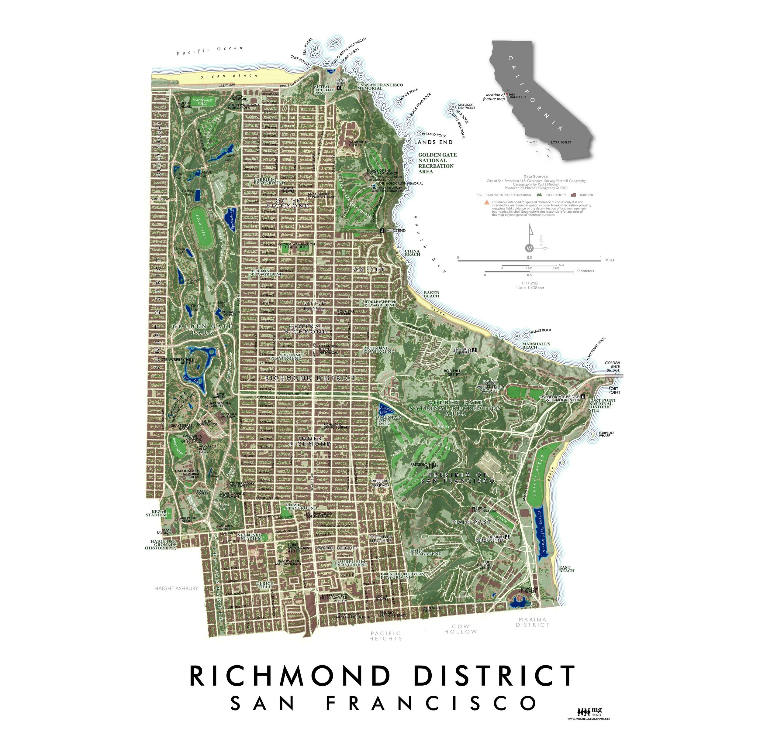 Image 2 of 4
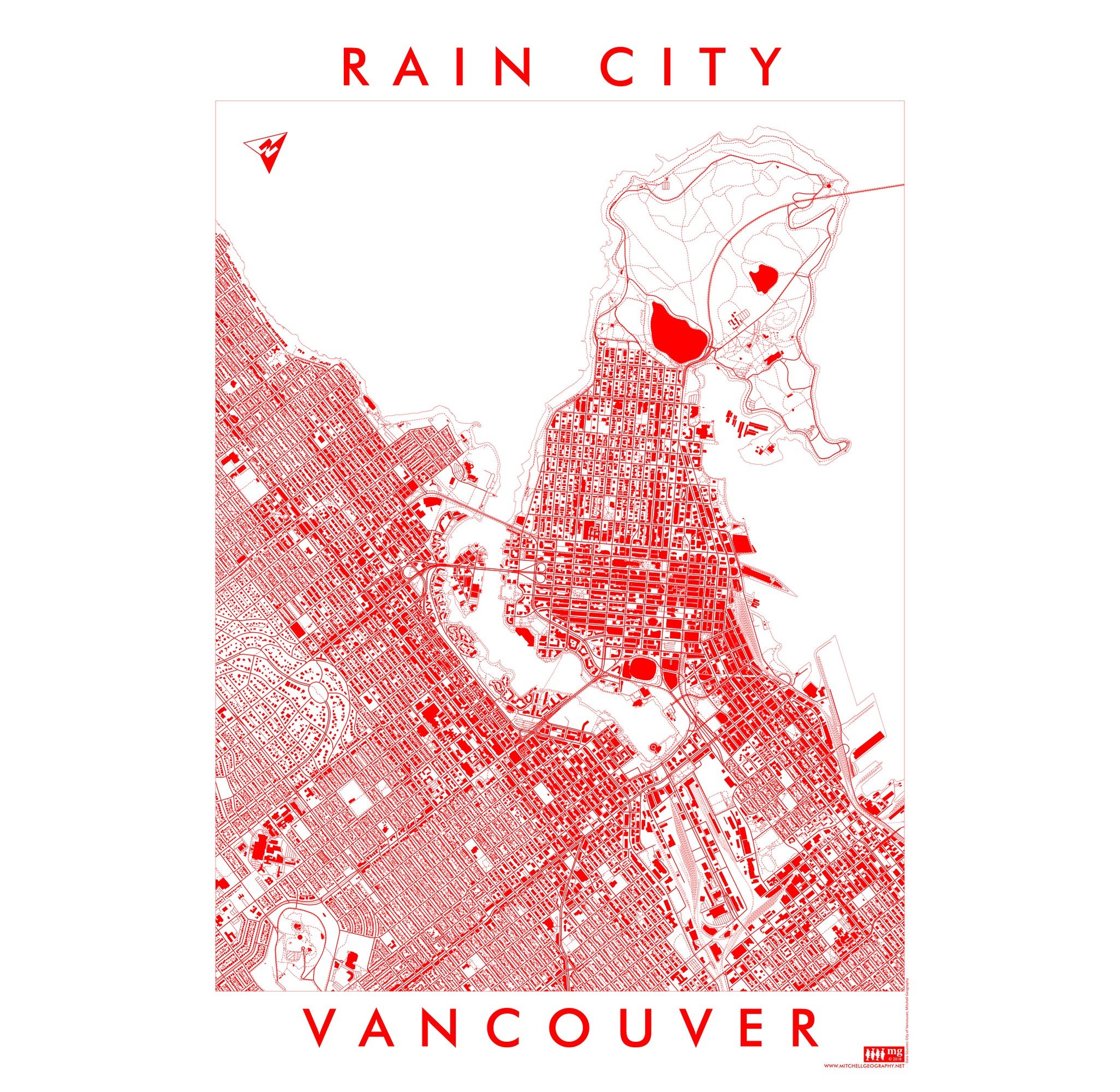
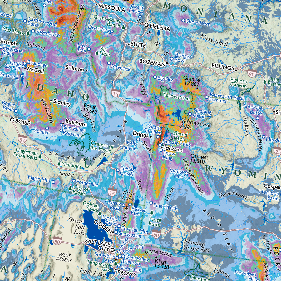
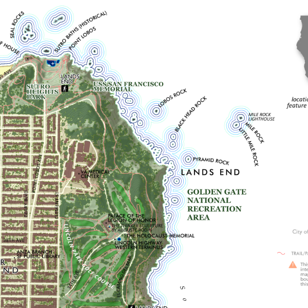 Image 3 of 4
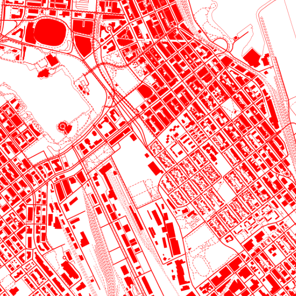
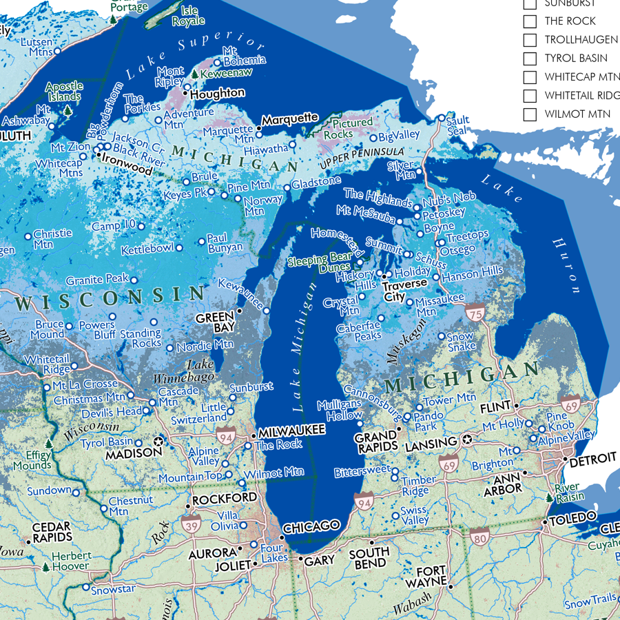
 Image 4 of 4
1:17,250
13 inch by 19 inch flat wall map, printed on heavy fine paper. Packed and shipped flat.
Richmond District - San Francisco, California. A general purpose reference map of the northwestern vicinity of San Francisco, rotated just about 90 degrees to fit into a portrait dimension; while titled and centered upon the Richmond; the map extends east just past Lyon Street and a block south of Golden Gate Park into the Sunset District. The entire extent of the Presidio, Lands End, Golden Gate Park and the Panhandle are portrayed with common features of interest labeled, and an extensive pedestrian, trail, and path network is mapped.