Skip to Content
maps
etc
stockists
contact
Mitchell Geography
0
0
maps
etc
stockists
contact
Mitchell Geography
0
0
maps
etc
stockists
contact
map shop Middle Fork Salmon River Idaho
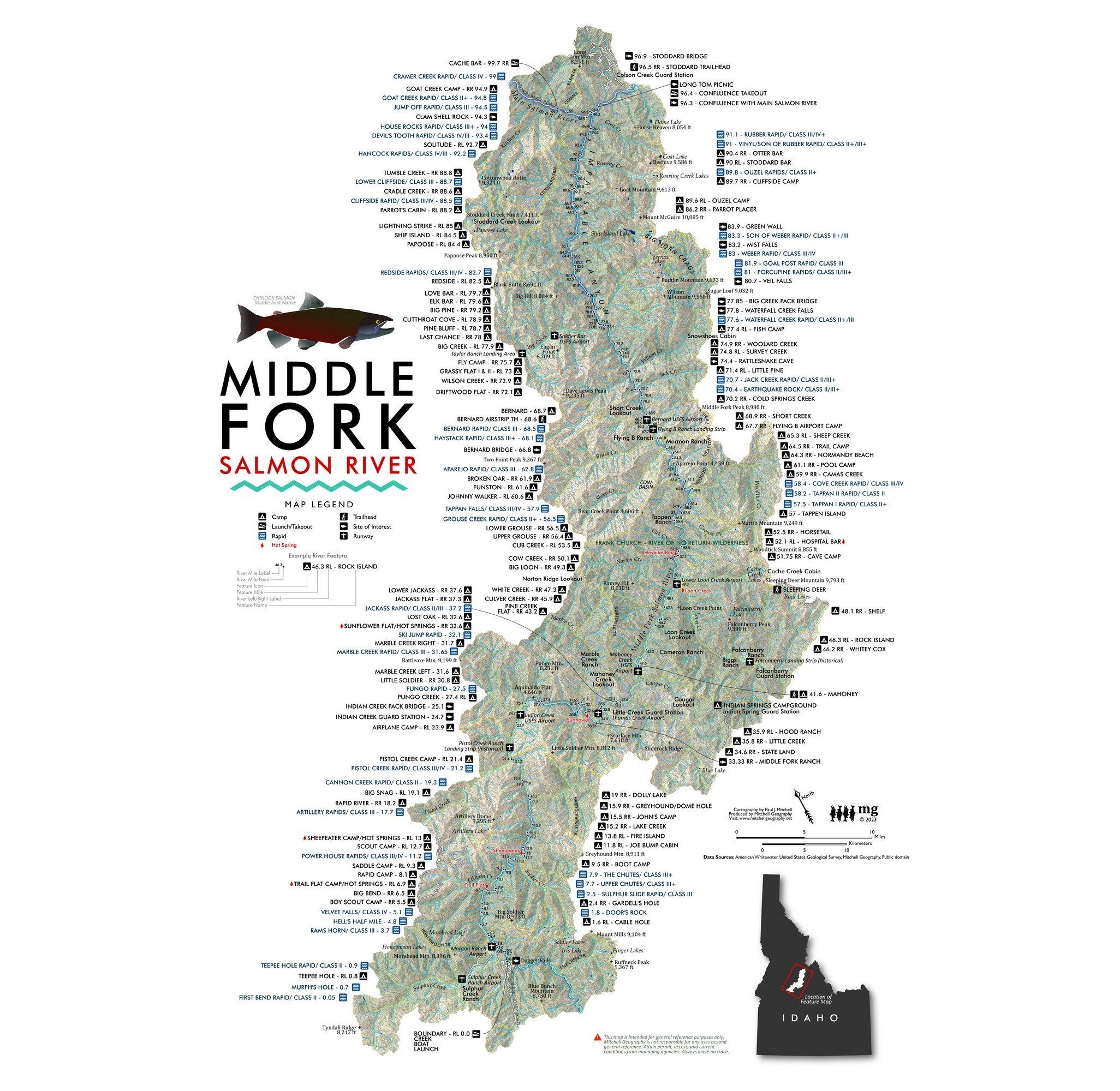
Middle Fork Salmon River Idaho Rafting Map Whitewater Rivers Stanley Idaho river trip Frank Church Wilderness River of No Return Image 1 of 3
Middle Fork Salmon River Idaho Rafting Map Whitewater Rivers Stanley Idaho river trip Frank Church Wilderness River of No Return
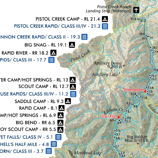
Middle Fork Salmon River Idaho Rafting Map Whitewater Rivers Stanley Idaho river trip Frank Church Wilderness River of No Return Image 2 of 3
Middle Fork Salmon River Idaho Rafting Map Whitewater Rivers Stanley Idaho river trip Frank Church Wilderness River of No Return
Middle Fork Salmon River Idaho Rafting Map Whitewater Rivers Stanley Idaho river trip Frank Church Wilderness River of No Return Image 3 of 3
Middle Fork Salmon River Idaho Rafting Map Whitewater Rivers Stanley Idaho river trip Frank Church Wilderness River of No Return

Middle Fork Salmon River Idaho

from $24.00

18 x 24 inch & 13 inch by 19 inch flat wall map, printed on heavy fine paper. 18 x 24 inch version is shipped rolled while the 13 x 19 inch version is shipped flat. (Not a waterproof float map).

Portraying one of Idaho's most well known rivers -- this map features the Middle Fork of the Salmon. The landscape is clipped to the HUC 12 watersheds which contribute to the Middle Fork; map also includes camps, most named rapids, runways, trails, and other place name features.

*Spring 2023 update added and updated features as needed, including new hot spring feature points and labels.

Size:
Quantity:
Add To Cart

18 x 24 inch & 13 inch by 19 inch flat wall map, printed on heavy fine paper. 18 x 24 inch version is shipped rolled while the 13 x 19 inch version is shipped flat. (Not a waterproof float map).

Portraying one of Idaho's most well known rivers -- this map features the Middle Fork of the Salmon. The landscape is clipped to the HUC 12 watersheds which contribute to the Middle Fork; map also includes camps, most named rapids, runways, trails, and other place name features.

*Spring 2023 update added and updated features as needed, including new hot spring feature points and labels.

You Might Also Like

Idaho Mountain Ranges & Landforms (24 in x 20 in) Idaho Mountain Ranges Map Idaho Mountain Ranges Map Idaho Mountain Ranges Map Idaho Mountain Ranges Map Idaho Mountain Ranges Map Idaho Mountain Ranges Map
Idaho Mountain Ranges & Landforms (24 in x 20 in)
$34.00
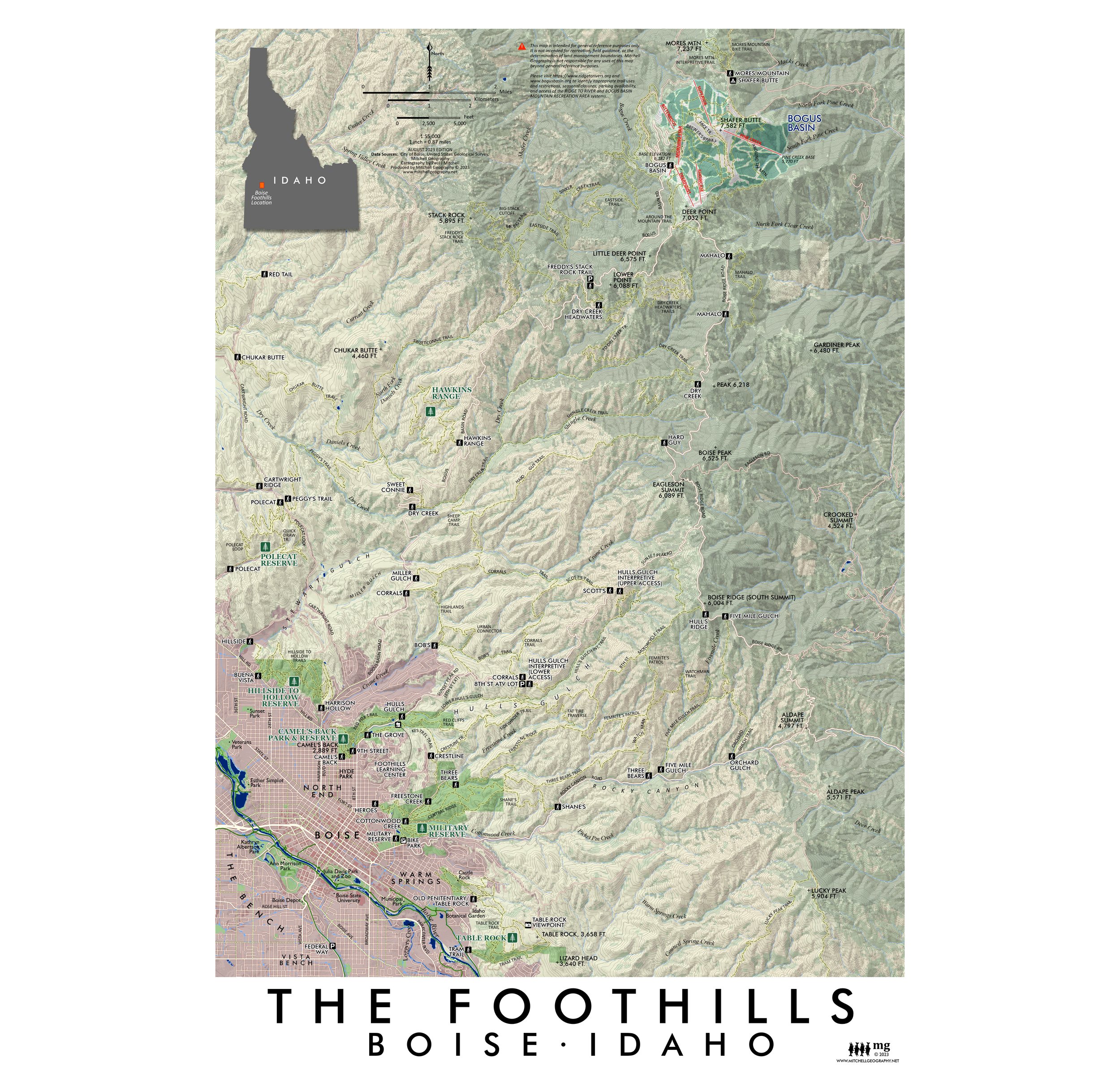
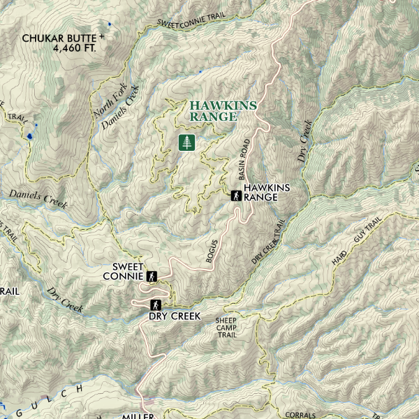
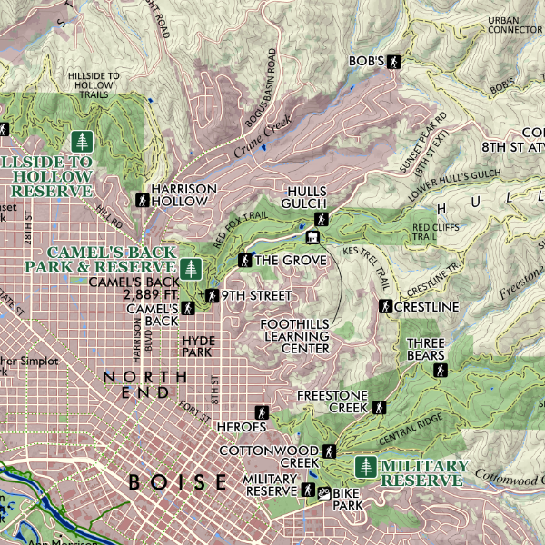
Boise Foothills (19 in x 13 in) Boise Foothills Trail Map Boise Foothills Trail Map Boise Foothills Trail Map
Boise Foothills (19 in x 13 in)
$24.00
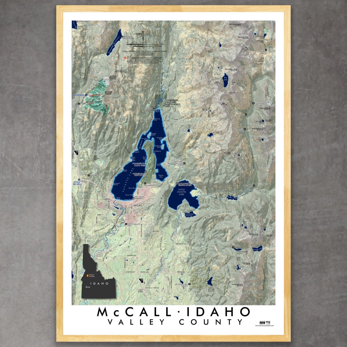
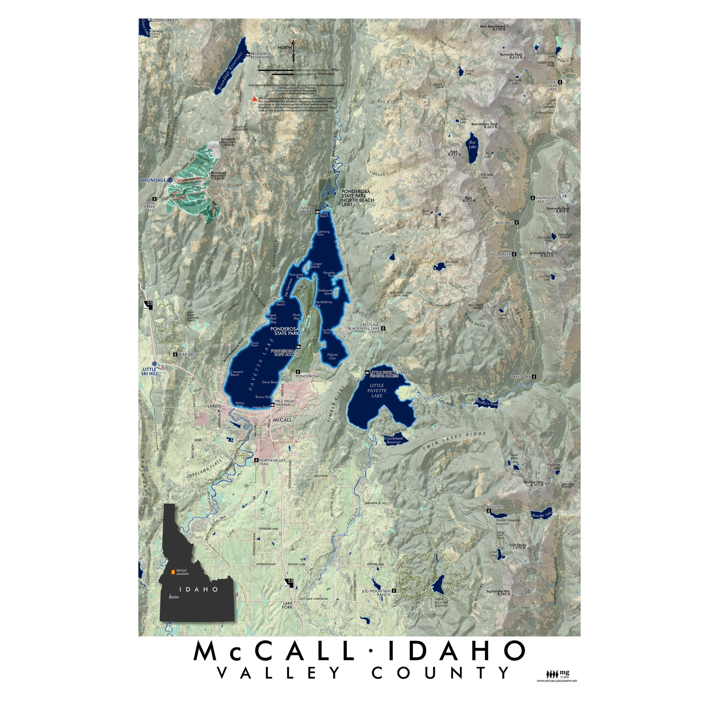
McCall Idaho  (19 in x 13 in) McCall Idaho Map McCall Idaho Map
McCall Idaho (19 in x 13 in)
$24.00
Sold Out
Idaho - The Wilderness State (19 in x 13 in) Idaho Wilderness State Map Idaho Wilderness State Map
Idaho - The Wilderness State (19 in x 13 in)
$24.00
Seven Devils Idaho (19 in x 13 in) Seven Devils Idaho Map Seven Devils Idaho Map Seven Devils Idaho Map
Seven Devils Idaho (19 in x 13 in)
$24.00

© Mitchell Geography 2013 - 2025