Skip to Content
maps
etc
stockists
contact
Mitchell Geography
0
0
maps
etc
stockists
contact
Mitchell Geography
0
0
maps
etc
stockists
contact
map shop Whidbey Island (24 in x 18 in)
Whidbey Island Map Image 1 of 5
Whidbey Island Map
Whidbey Island Map Image 2 of 5
Whidbey Island Map
Whidbey Island Map Image 3 of 5
Whidbey Island Map
Whidbey Island Map Image 4 of 5
Whidbey Island Map
Whidbey Island Map Image 5 of 5
Whidbey Island Map
Whidbey Island Map
Whidbey Island Map
Whidbey Island Map
Whidbey Island Map
Whidbey Island Map

Whidbey Island (24 in x 18 in)

$34.00

1:100,000

18 inch x 24 inch — flat wall map, printed on a heavy fine paper — shipped rolled.

Overview map of Washington's Whidbey and Camano Islands, including state and county parks, public trails, and feature place names for general purpose reference.

*This map is a 2-D paper print, not a 3-D pressed and molded model — the map is shipped rolled in a tube.

Quantity:
Add To Cart

1:100,000

18 inch x 24 inch — flat wall map, printed on a heavy fine paper — shipped rolled.

Overview map of Washington's Whidbey and Camano Islands, including state and county parks, public trails, and feature place names for general purpose reference.

*This map is a 2-D paper print, not a 3-D pressed and molded model — the map is shipped rolled in a tube.
San Juan Islands (24 in x 20 in)
$34.00
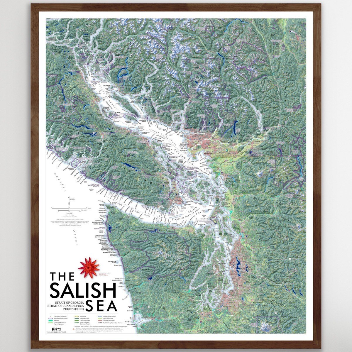
Salish Sea (24 in x 20 in)
$34.00
Salish Sea Confluence (19 in x 13 in)
$24.00
Salish Sea (GEOFOLD)
$5.95

1:100,000

18 inch x 24 inch — flat wall map, printed on a heavy fine paper — shipped rolled.

Overview map of Washington's Whidbey and Camano Islands, including state and county parks, public trails, and feature place names for general purpose reference.

*This map is a 2-D paper print, not a 3-D pressed and molded model — the map is shipped rolled in a tube.

You Might Also Like

Washington Elevation Range Map Washington Elevation Range Map Washington Elevation Range Map Washington Elevation Range Map
Washington Elevation Range
$24.00
Washington [Japanese language] (24 in x 20 in) Japanese Washington Map Japanese Washington Map Japanese Washington Map Japanese Washington Map Japanese Washington Map Japanese Washington Map
Washington [Japanese language] (24 in x 20 in)
$34.00
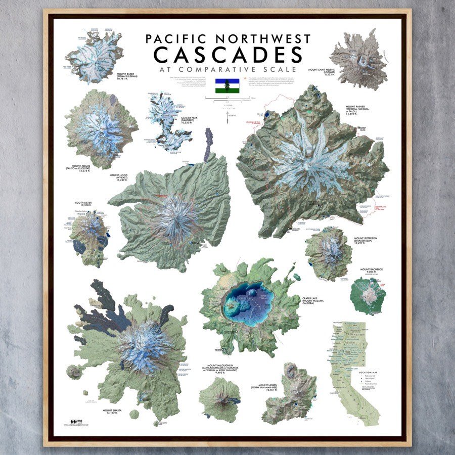
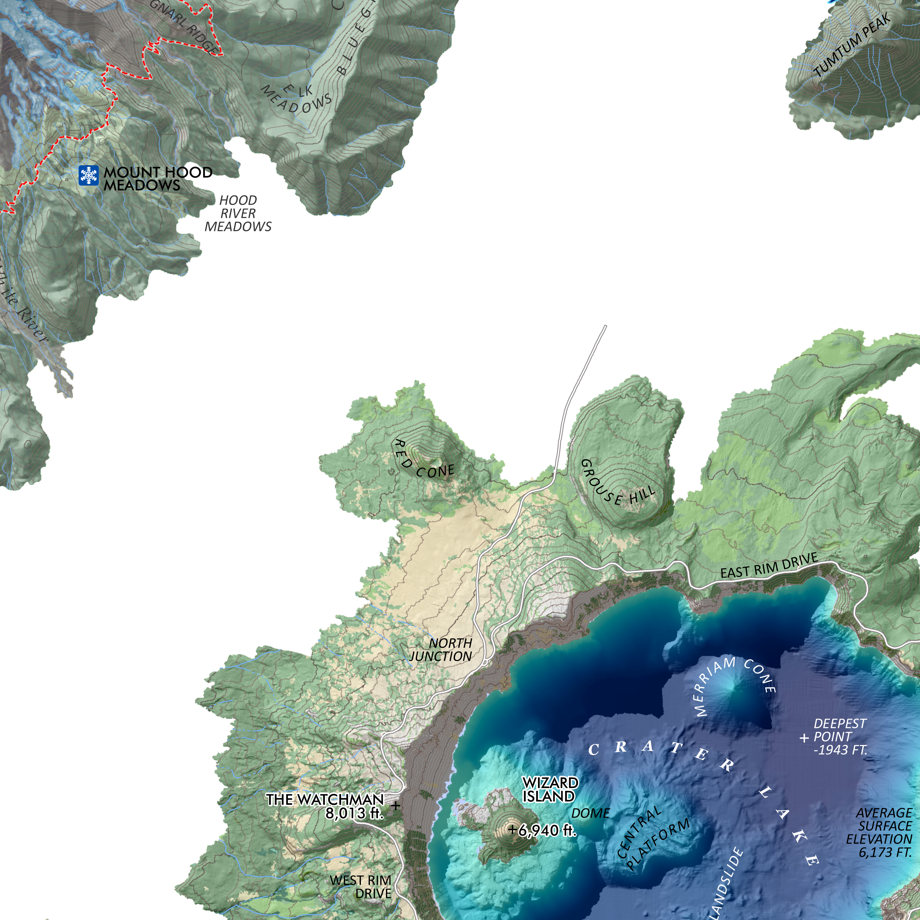
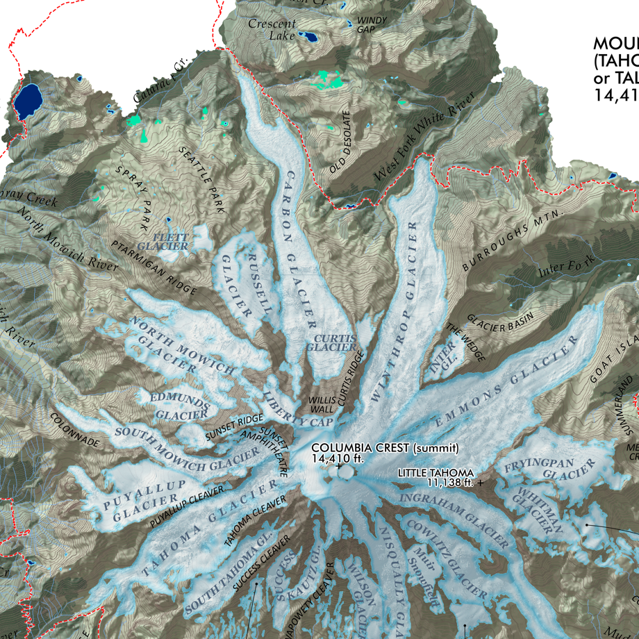
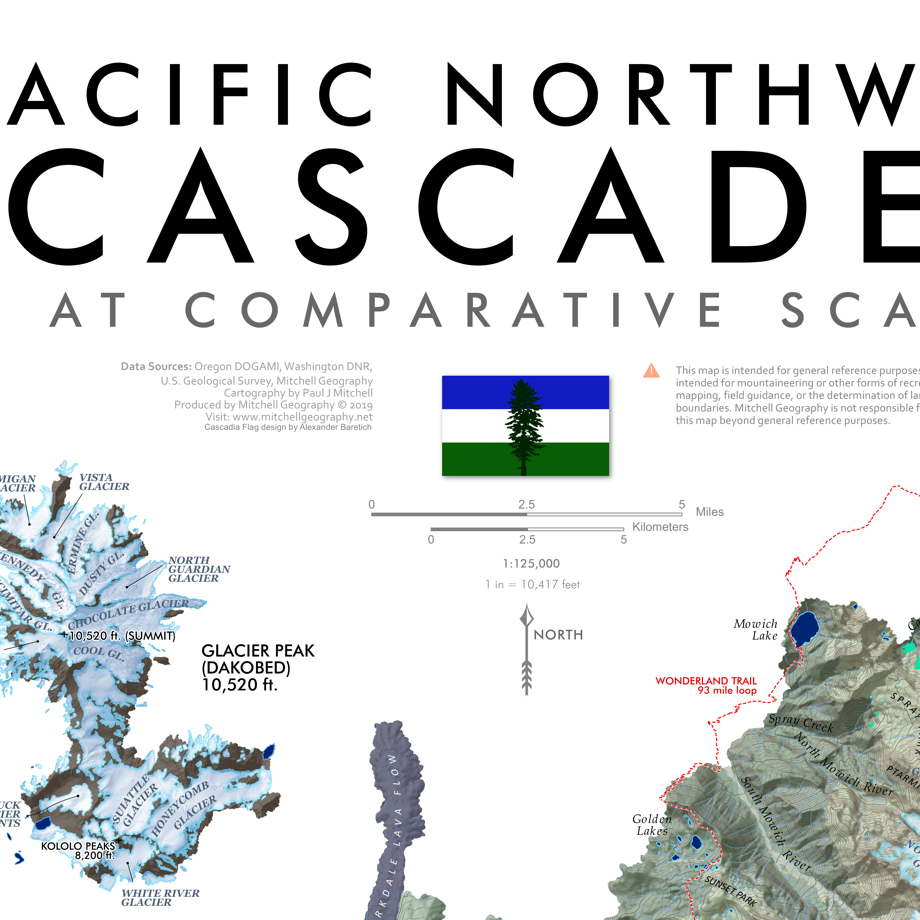
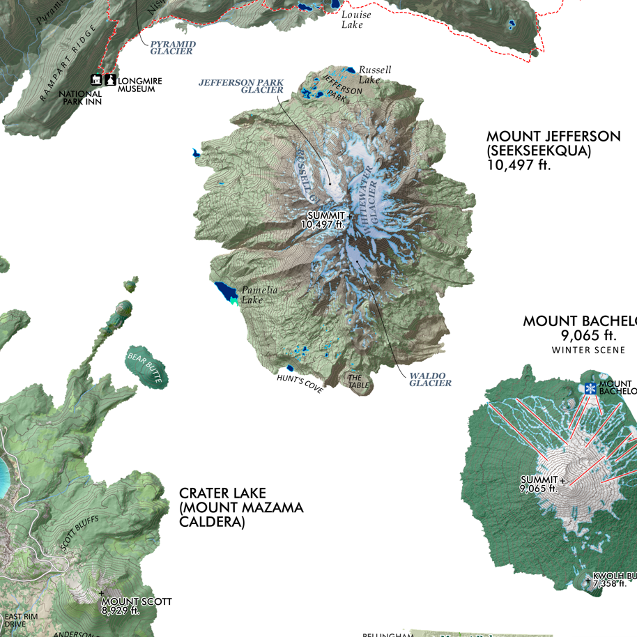
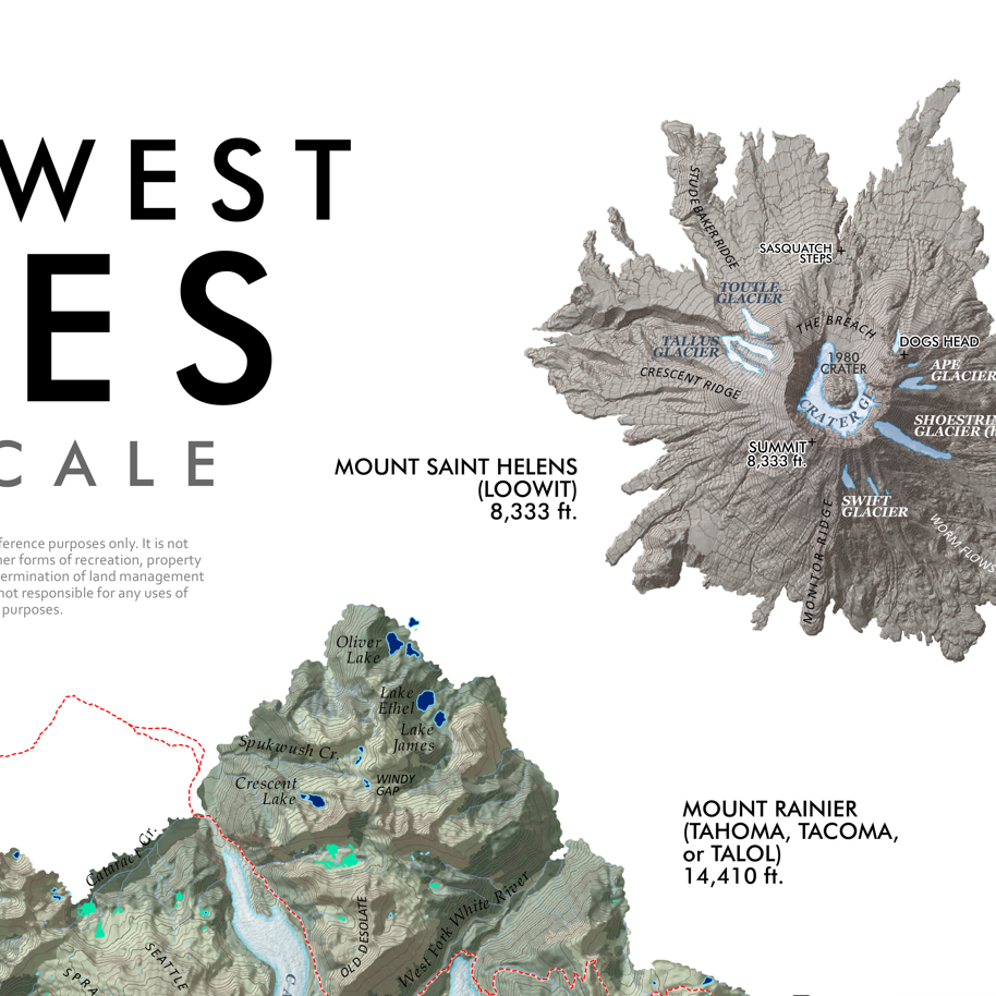
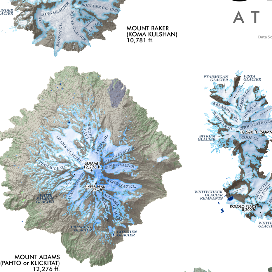
PNW Cascades (24 in x 20 in) Cascades_det1.png Cascades_det2.png Cascades_det3.png Cascades_det4.png Cascades_det5.png Cascades_det6.png Cascades_det7.png Cascades_det8.png Cascades_det9.png Cascades_det10.png
PNW Cascades (24 in x 20 in)
$34.00
Mt. St. Helens Slope Aspect (24 in x 20 in) Mount Saint Helens Slope Aspect Map Mount Saint Helens Slope Aspect Map
Mt. St. Helens Slope Aspect (24 in x 20 in)
$34.00
Sold Out
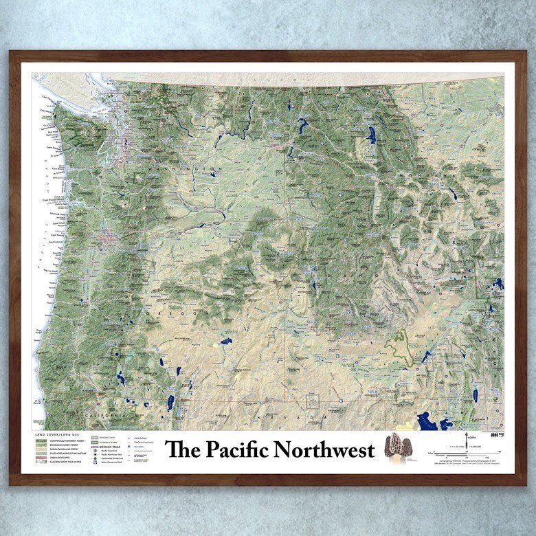
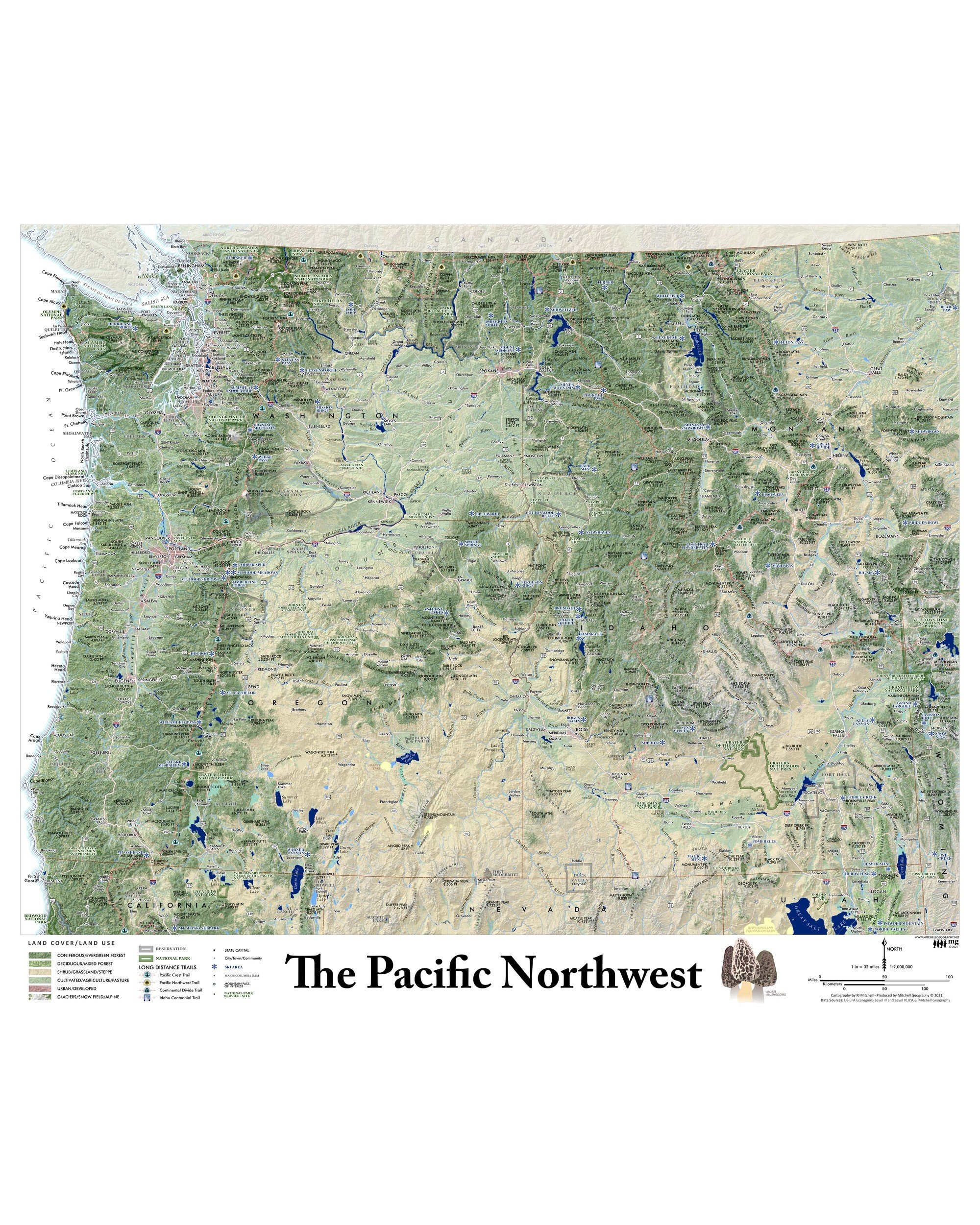
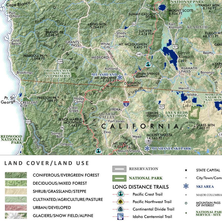
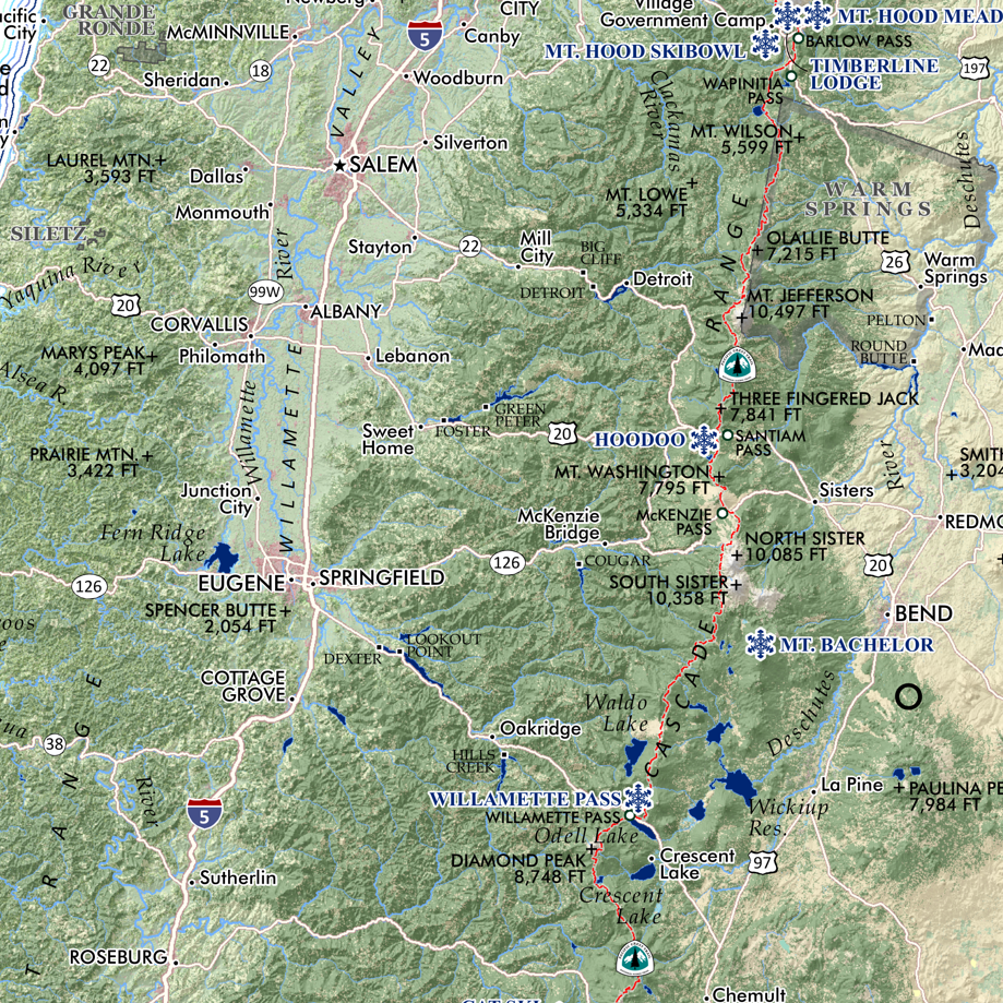
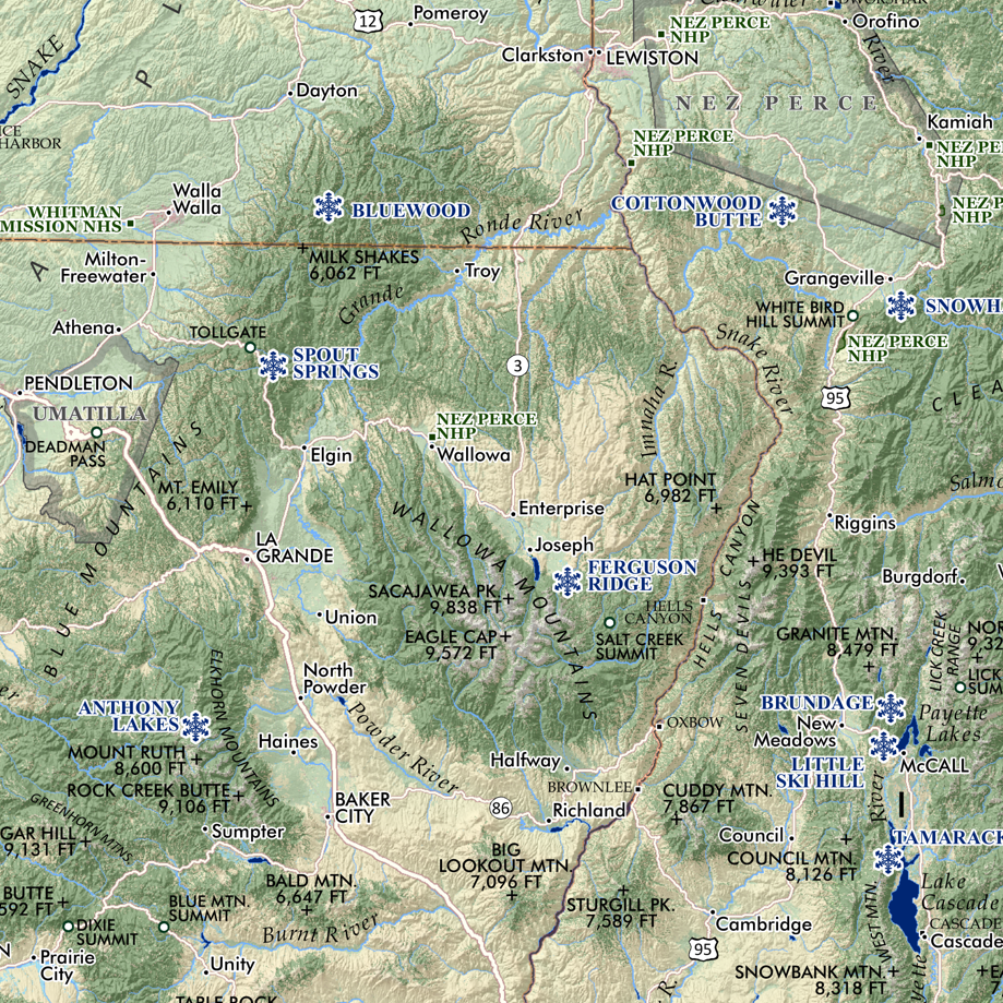
The Pacific Northwest (24 in x 20 in) Pacific Northwest Map PNW_det1.png PNW_det2.png PNW_det3.png PNW_det4.png PNW_det5.png PNW_det6.png PNW_det7.png PNW_det8.png PNW_det9.png PNW_det10.png
The Pacific Northwest (24 in x 20 in)
$34.00

© Mitchell Geography 2013 - 2025