Skip to Content
maps
etc
stockists
contact
Mitchell Geography
0
0
maps
etc
stockists
contact
Mitchell Geography
0
0
maps
etc
stockists
contact
map shop Glacier Peak Washington (19 x 13 inch version)
Glacier Peak Washington Map (19 x 13 inch version) Image 1 of 3
Glacier Peak Washington Map (19 x 13 inch version)
Glacier Peak Washington Map (19 x 13 inch version) Image 2 of 3
Glacier Peak Washington Map (19 x 13 inch version)
Glacier Peak Washington Map (19 x 13 inch version) Image 3 of 3
Glacier Peak Washington Map (19 x 13 inch version)

Glacier Peak Washington (19 x 13 inch version)

$24.00

1:27,750

13 inch by 19 inch flat wall map, printed on heavy fine paper. Packed and shipped flat.

Glacier Peak, Washington (13 x 19 inch version). Feature map of the alpine landscapes of Glacier Peak south to the Kololo Peaks, including the glaciers, large snowfields and glacier remnants delineated with Washington State’s DNR published 3 foot lidar bare earth model.

A larger 24 x 18 inch Glacier Peak map is also available.

Quantity:
Add To Cart

1:27,750

13 inch by 19 inch flat wall map, printed on heavy fine paper. Packed and shipped flat.

Glacier Peak, Washington (13 x 19 inch version). Feature map of the alpine landscapes of Glacier Peak south to the Kololo Peaks, including the glaciers, large snowfields and glacier remnants delineated with Washington State’s DNR published 3 foot lidar bare earth model.
A larger 24 x 18 inch Glacier Peak map is also available.

North Cascades - Baker & Shuksan (19 in x 13 in)
$24.00
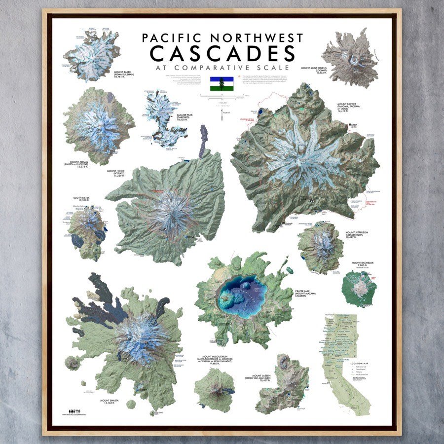
PNW Cascades (24 in x 20 in)
$34.00

1:27,750

13 inch by 19 inch flat wall map, printed on heavy fine paper. Packed and shipped flat.

Glacier Peak, Washington (13 x 19 inch version). Feature map of the alpine landscapes of Glacier Peak south to the Kololo Peaks, including the glaciers, large snowfields and glacier remnants delineated with Washington State’s DNR published 3 foot lidar bare earth model.

A larger 24 x 18 inch Glacier Peak map is also available.

You Might Also Like

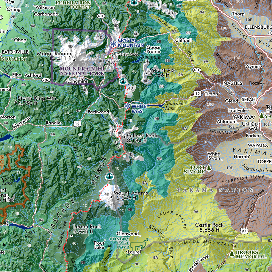
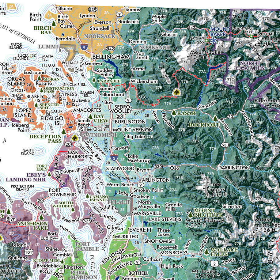
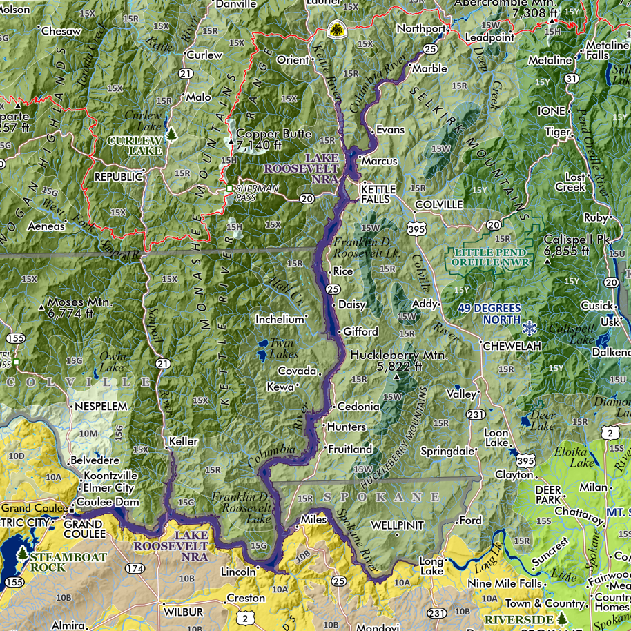
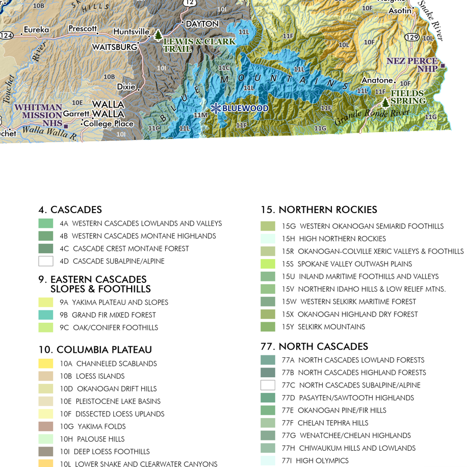
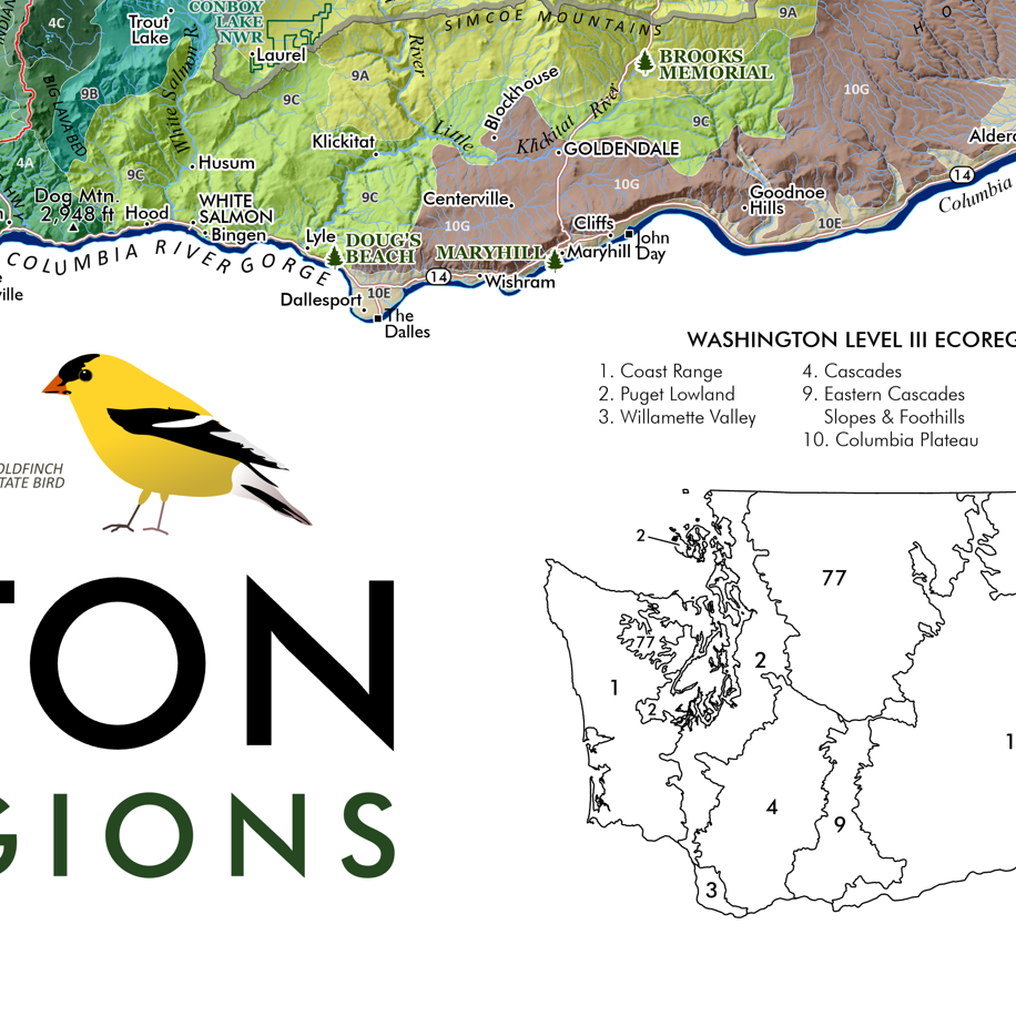
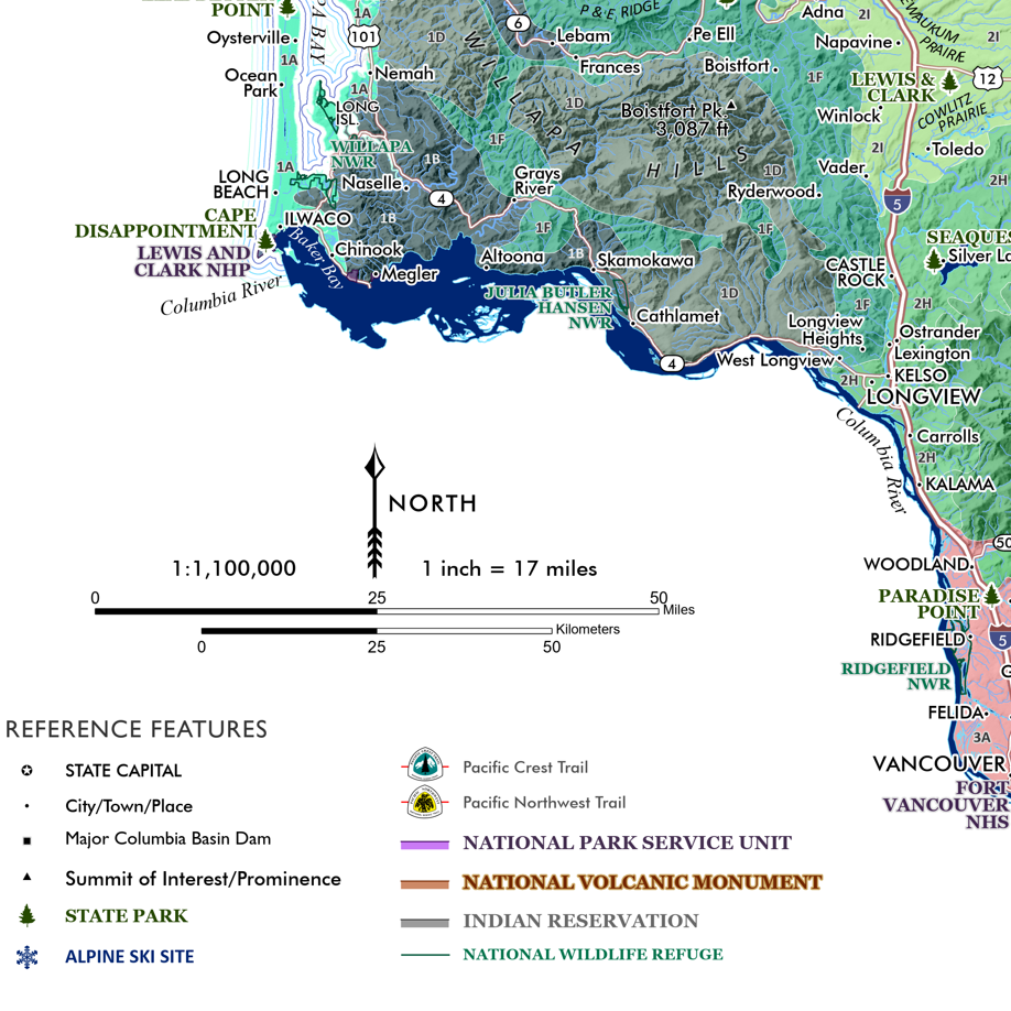
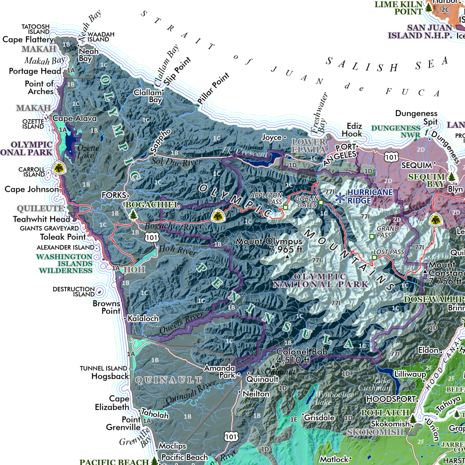
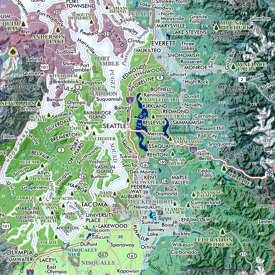
Washington Ecological Regions (24 in x 20 in) WA_Eco_det1.png WA_Eco_det2.png WA_Eco_det3.png WA_Eco_det4.png WA_Eco_det5.png WA_Eco_det6.png WA_Eco_det7.png WA_Eco_det8.png
Washington Ecological Regions (24 in x 20 in)
$34.00
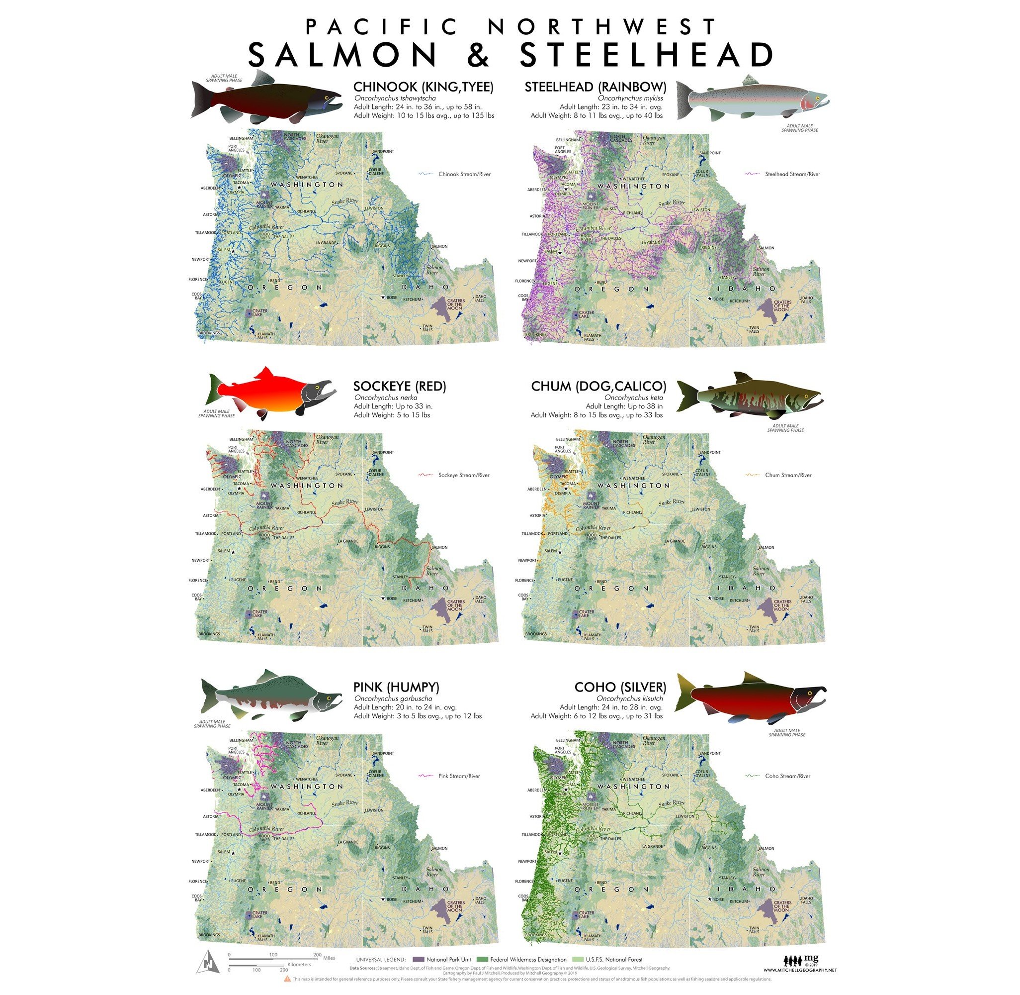
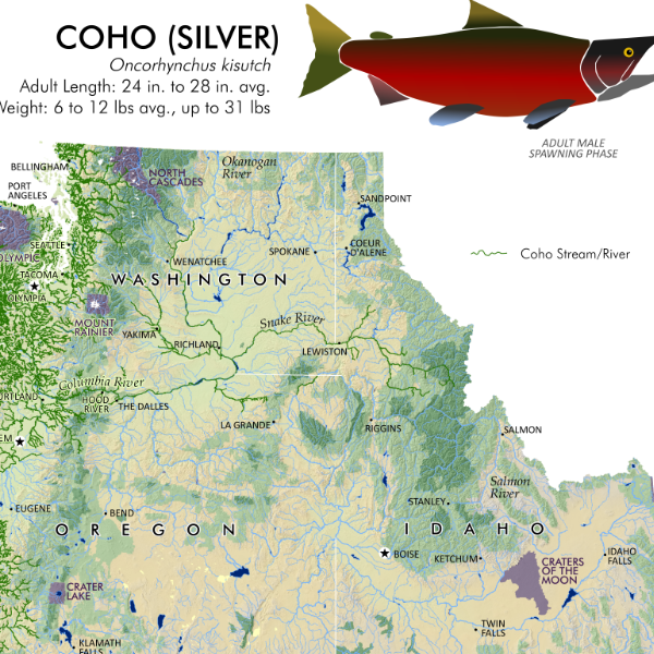
Pacific Northwest Salmon & Steelhead Pacific Northwest Salmon Distribution Extent Map Pacific Northwest Salmon extent distribution map
Pacific Northwest Salmon & Steelhead
from $24.00
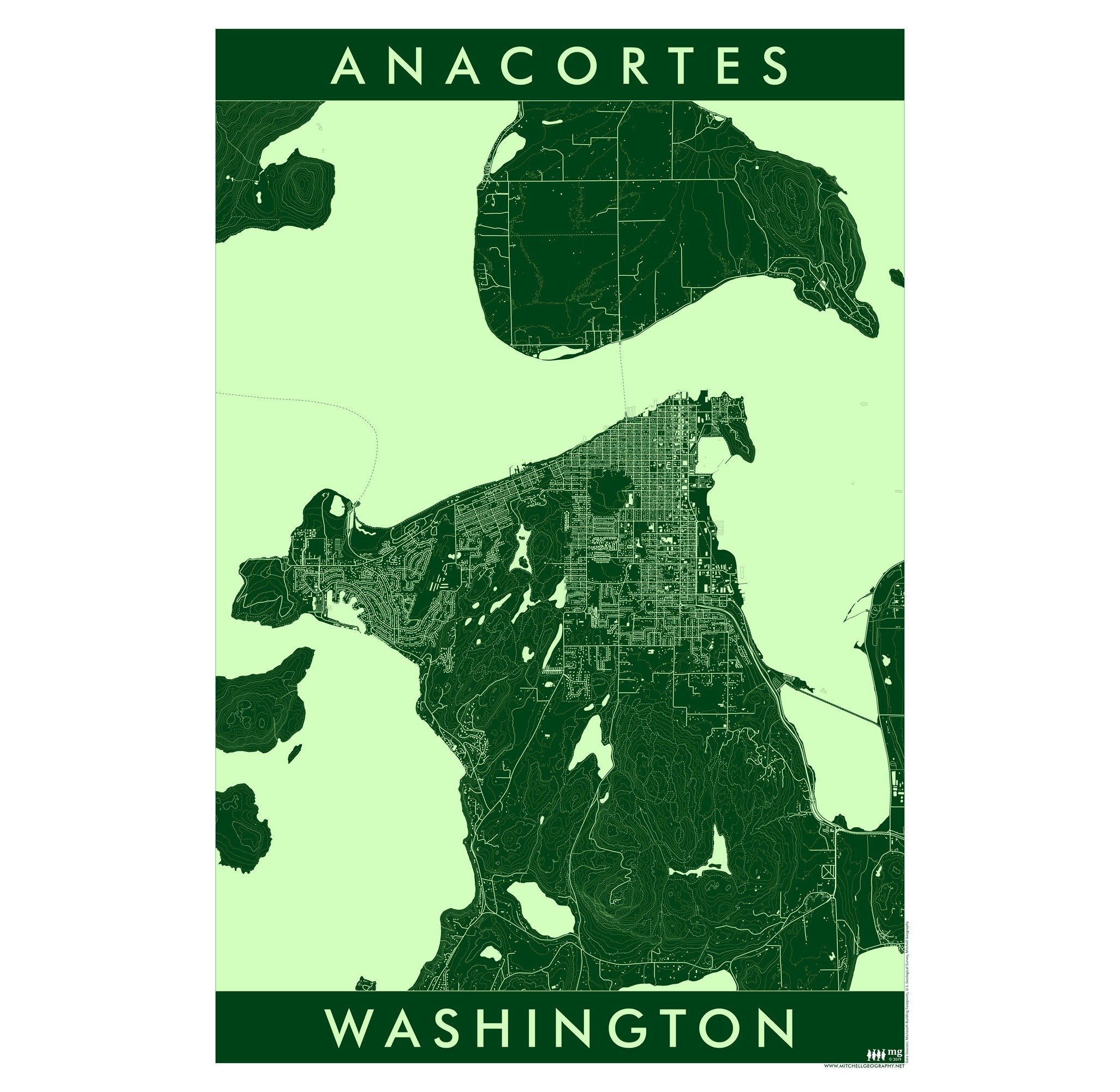
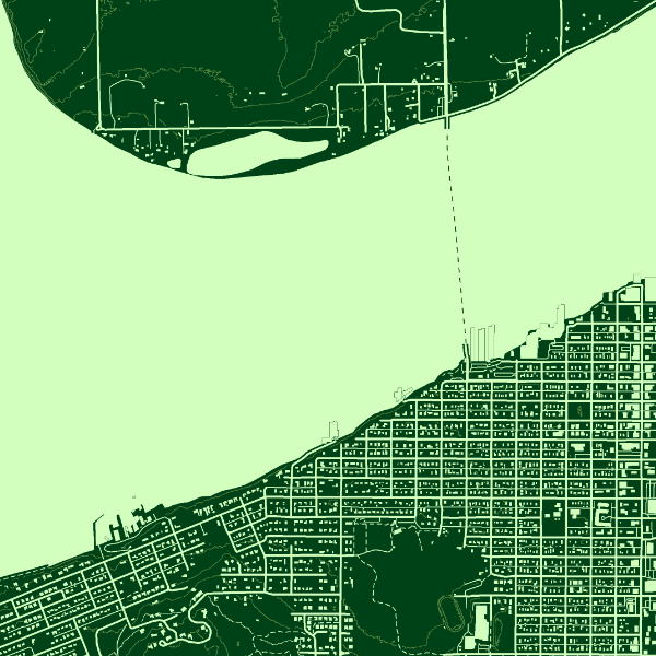
Anacortes Washington (19 in x 13 in) Anacortes Washington Map Anacortes Washington Map
Anacortes Washington (19 in x 13 in)
$24.00
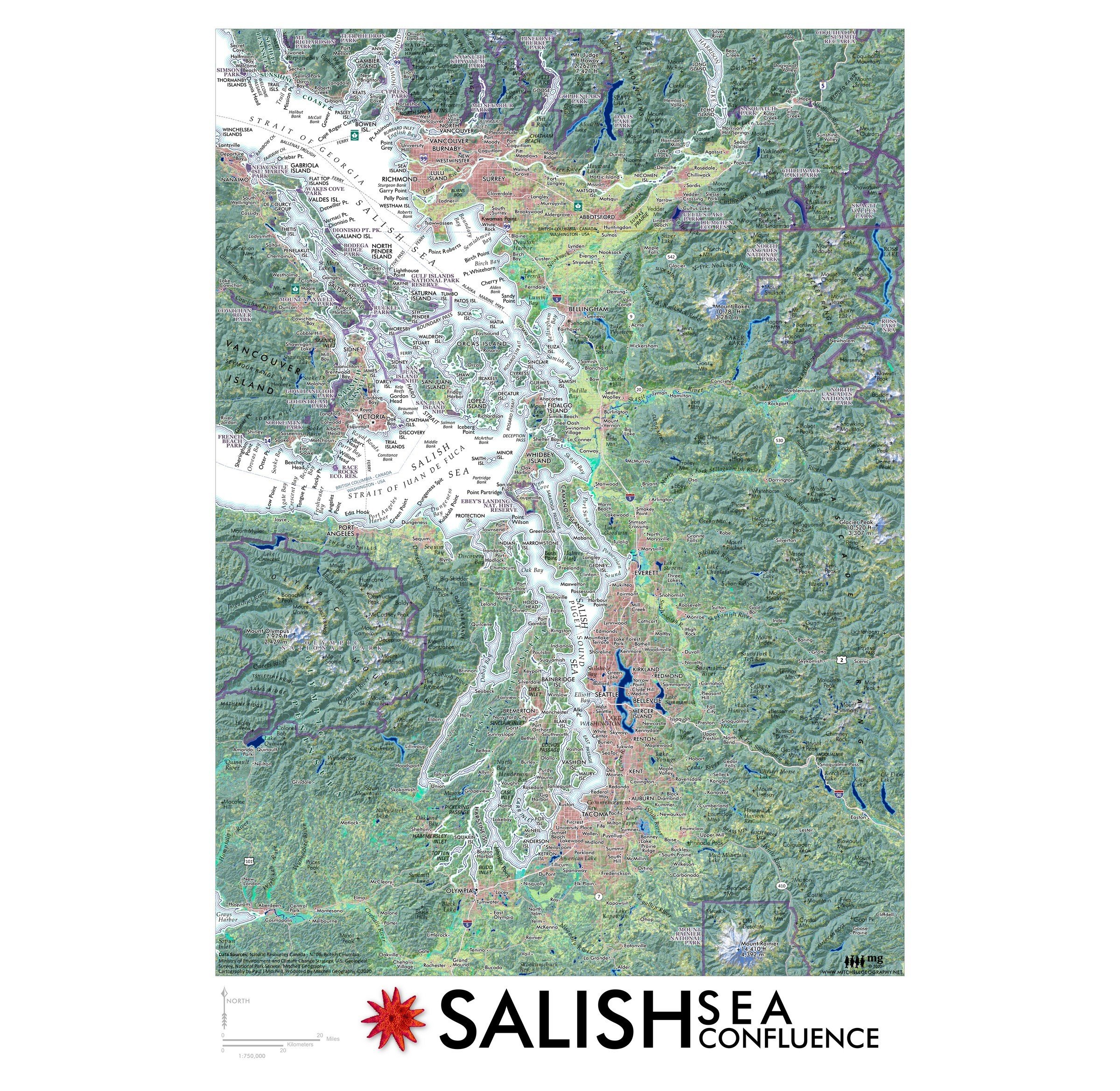
Salish Sea Confluence (19 in x 13 in) Salish Sea Confluence Map Salish Sea Confluence Map
Salish Sea Confluence (19 in x 13 in)
$24.00
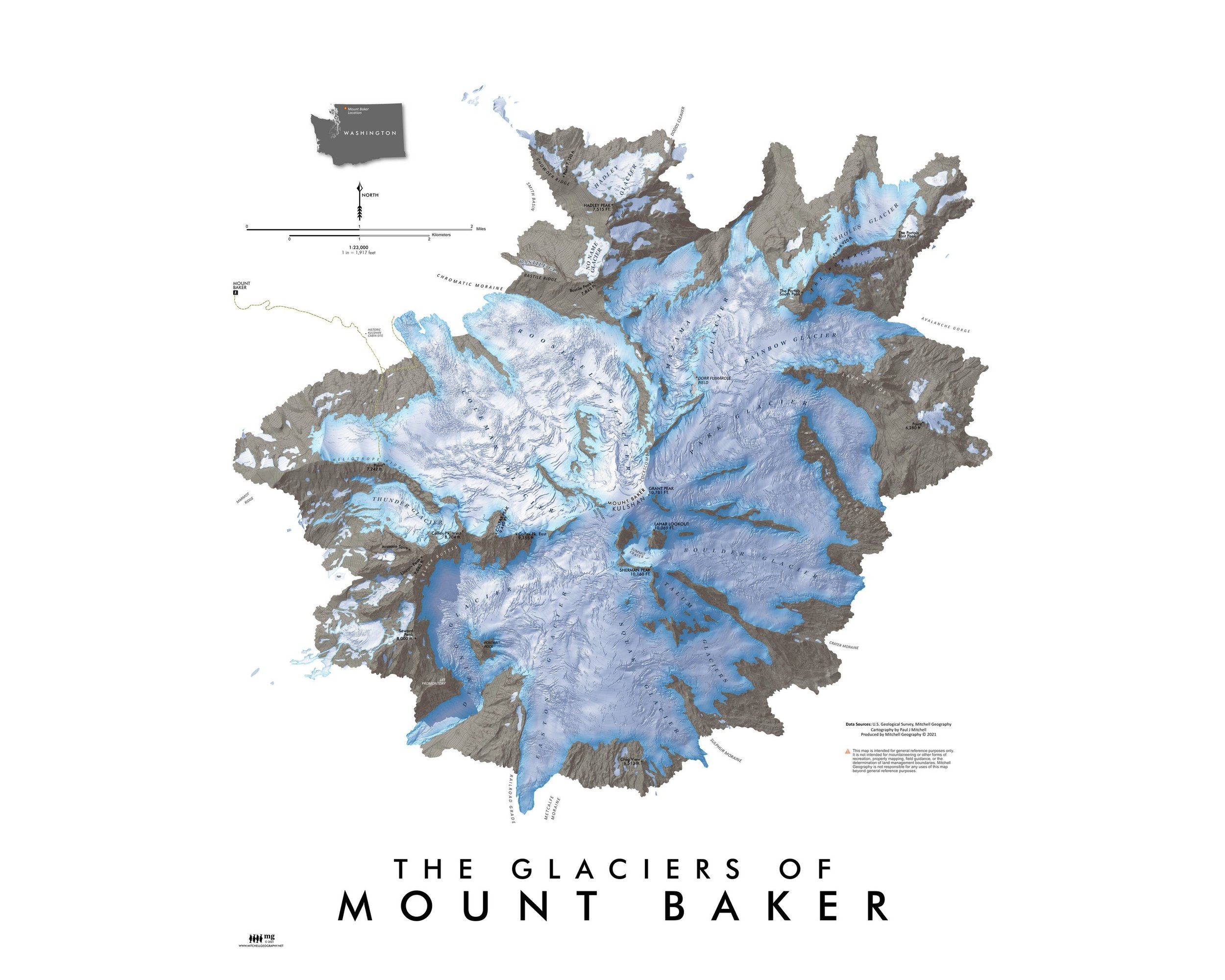
Mt. Baker Glaciers (24 in x 20 in) Mount Baker Map Mount Baker Map Mount Baker Map Mount Baker Map
Mt. Baker Glaciers (24 in x 20 in)
$34.00

© Mitchell Geography 2013 - 2025